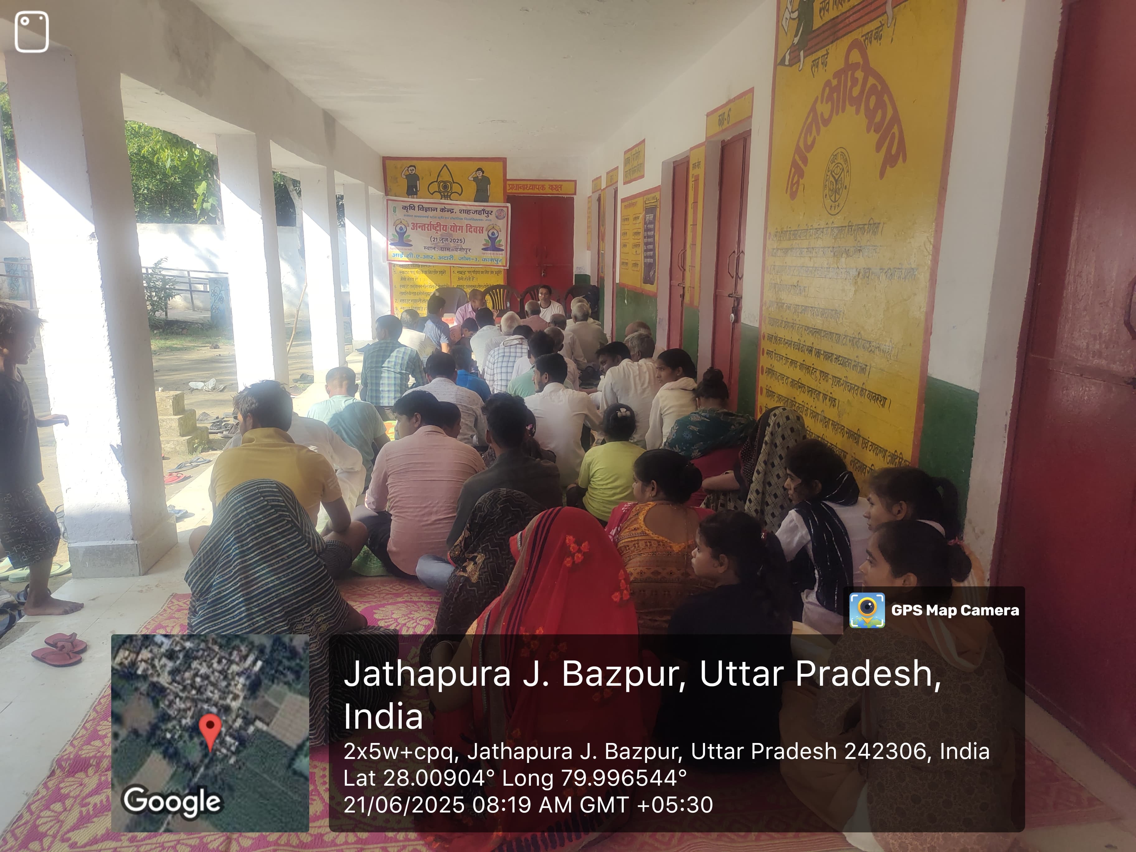
ICAR-Krishi Vigyan Kendra, Tuensang
DEPARTMENT OF AGRICULTURE, GOVT. OF NAGALAND,KUTHUR, P.BOX – 179, DIST-TUENSANG, NAGALAND-798612

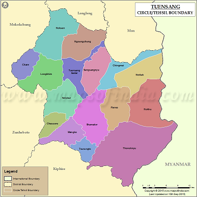
District Profile.
Tuensang is located in the eastern part of Nagaland. It is bounded by Mon in the north east, Longleng in the North, Mokokchung and Zunheboto in the West and Kiphire in the south. Changs, Sangtams, Yimchunger and Khiamniungans are the main indigenous tribes of the district. The different customs and practices of the tribes are representative of their traditions. The district of Tuensang has an area of 1,728 square kilometres. The district is situated between latitudes 2506’ to 270’ North and longitudes of 93020’ t0 95015’East, with an altitude ranging from 800 to 3500m above the main sea level. The district falls under Eastern Himalayan Agro Climatic Zone with sub-alpine to sub-tropical climate. The blocks of Tuensang district are Chare, Longkhim, Noksen, Sangsangnyu Shamator and Chessore. Major crops of the district are Maize, Rice, kholar and minor Millets.